1
/
of
1
National Geographic Maps
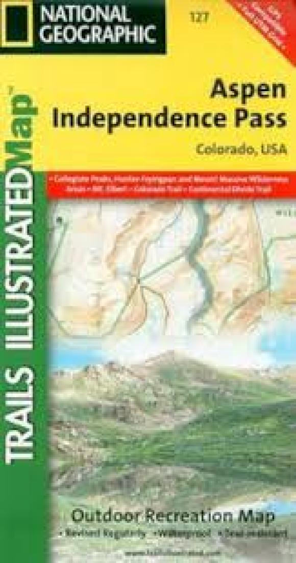
Aspen : Independence Pass : Colorado, USA
Aspen : Independence Pass : Colorado, USA
Regular price
$11.95 USD
Regular price
Sale price
$11.95 USD
Unit price
/
per
Shipping calculated at checkout.
Low stock
Couldn't load pickup availability
- SKU: TI_ASPEN_5
- • Waterproof • Tear-Resistant • Topographic Map Coverage includes White River, San Isabel and Gunnison national forests. Maroon Bells Snowmass, Hunter Fryingpan, Mt. Massive, Collegiate Peaks and Spruce Creek wilderness areas. Aspen and Twin lakes. Roaring Fork River, Lake and Lincoln creeks. 14ers: Mt. Elbert, Mt. Massive, Castle and La Plata peaks. Willis, Fryingpan and Evergreen lakes. Taylor, Midway, and Independence passes. Ski Areas: Aspen and Buttermilk. 10th Mountain Huts: Tagert Hut, Wilson Hut, Barnard Hut, Markely Hut, McNamara Hut. Includes UTM grids for use with your GPS unit and Colorado Game Management Unit (GMU) boundaries.
- Type: Folded Map
- Subtype: Park
- Language: English
- Publication Date: 2005-06-01
- Scale: 1:40,680
- Regions Covered: Central U.S., North America
- Countries Covered: United States
- States Covered: Colorado
- ISBN: 9781566953580
- MPN: TI00000127
- Folded Size: 3.94" (W) x 7.48" (H)
- Unfolded Size: 26.77" (W) x 20.87" (H)
- Weight: 2.4 oz


