Raven Maps
Arizona Landforms and Rivers Fine Art Print Map
Arizona Landforms and Rivers Fine Art Print Map
Regular price
$120.00 USD
Regular price
Sale price
$120.00 USD
Unit price
per
Shipping calculated at checkout.
Couldn't load pickup availability
- SKU: PODRP_AZ_LF_30X36_WA
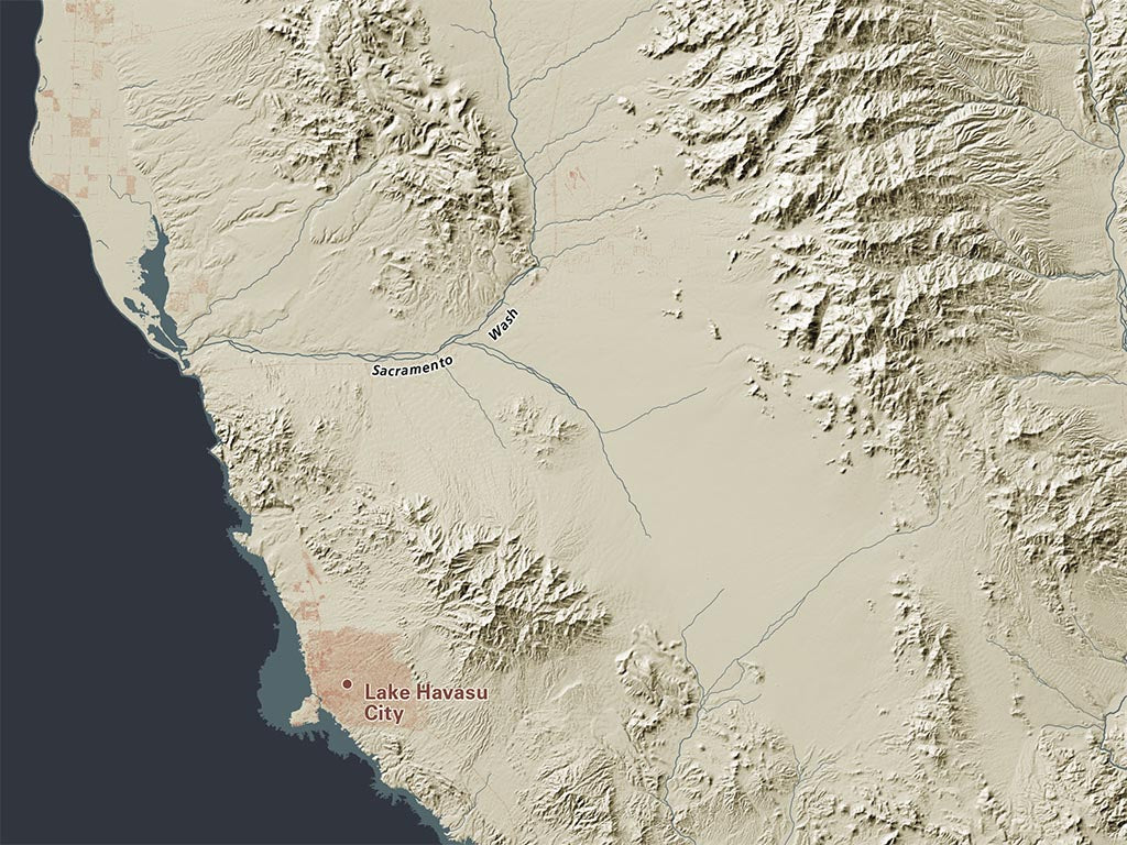
Arizona is very sharply divided by the Mogollon Rim between the high elevation cold-winter north, and the low elevation warm-winter south and west.
Our Land Cover map features the forested Rim and isolated high ridges and peaks elsewhere, sharply contrasting with the relatively barrenness of most of the state. Low elevation farmlands depend on canals, largely from the Colorado.
Dimensions: All map dimensions are approximate.
- Type: Flat Map
- Subtype: Wall Art
- Language: English
- Regions Covered: North America, Southwestern U.S.
- Countries Covered: United States
- States Covered: Arizona
- UPC: 767020010845
- MPN: arizona-landforms-map
- Folded Size: N/A
- Unfolded Size: 30" (W) x 36" (H)
- Finish: Regular Paper