Longitude Maps
Arches National Park
Arches National Park
Regular price
$11.95 USD
Regular price
Sale price
$11.95 USD
Unit price
per
Shipping calculated at checkout.
Couldn't load pickup availability
- SKU: UT_TI_ARCHES_13
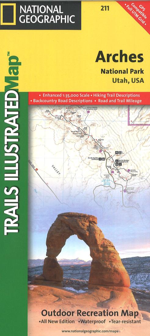
- - Waterproof - Tear-Resistant - Topographic Map This map of Arches Nat'l Park in Utah is updated to reflect road closings, new trails, and campground relocation, and includes detailed trail information, points of interest, trailheads, picnic areas, facilities, and more. Included on the map are Arches National Park, The Highlands, Little Valley, Devils Garden, Lost Spring Canyon Wilderness area, Negro Bill Wilderness area, Scott M. Matheson Wetlands Preserve, Cache Valley, Delicate Arch, Broken Arch, Sand Dune Arch, Pine Tree Arch, Private Arch, Dark Angel, Double Arch, and more. The map also includes the Colorado River, the Windows Section, Petrified Dunes, and fascinating information about the park's geology, archaeology, history, and culture. Includes UTM grids for use with your GPS unit. Scale = 1:35,000
- Type: Folded Map
- Subtype: Park
- Language: English
- Publication Date: 2013-06-01
- Scale: 1:35,000
- Countries Covered: United States
- States Covered: Utah
- ISBN: 9781566953276
- UPC: 749717002111
- MPN: TI00000211
- Folded Size: 4.33" (W) x 9.45" (H)
- Unfolded Size: 37.01" (W) x 24.8" (H)
- Weight: 3.4 oz