Kompass
Appenzellerland St. Gallen - Santis Hiking Map
Appenzellerland St. Gallen - Santis Hiking Map
Couldn't load pickup availability
- SKU: KOM_112_ASG_23
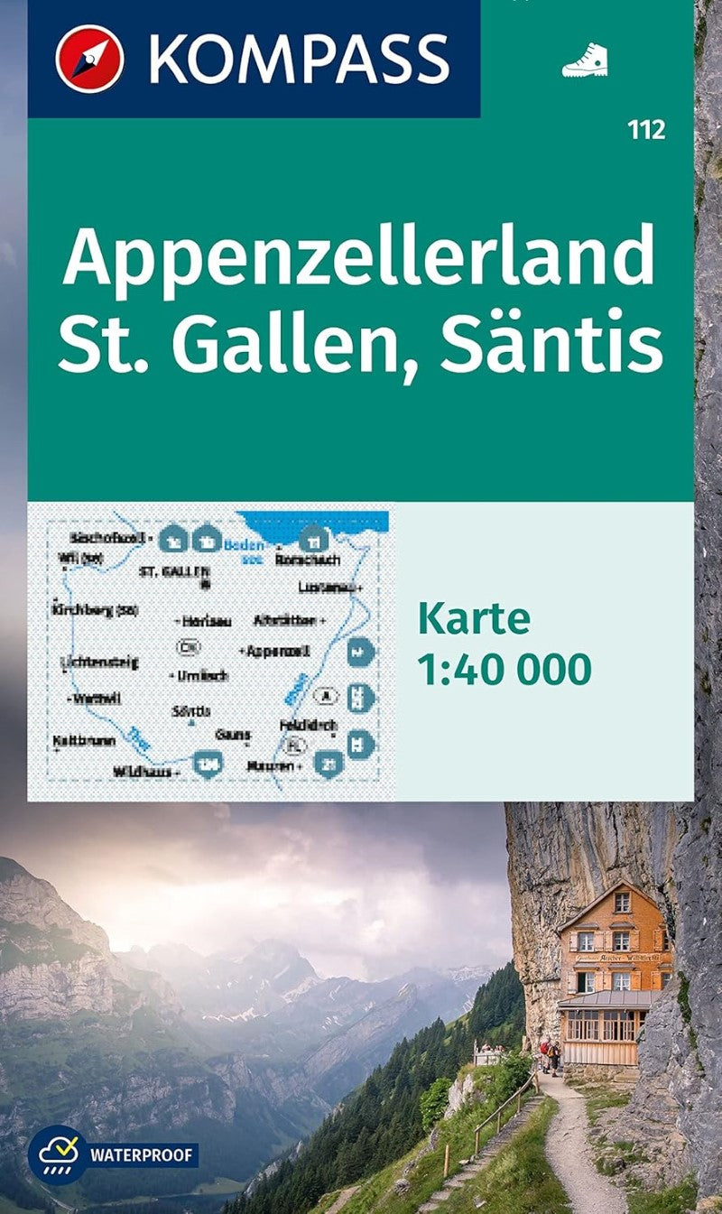
This Kompass map is a topographic map with trails and other hiking information added. The map is printed in color on one side and is packaged in a clear, water-resistant plastic sleeve.
The KOMPASS hiking maps convince by:
- a GPS-accurate and up-to-date map for easy orientation
- the enclosed short guide to interesting facts in the region
- Made on sturdy tear and weatherproof paperThe GPS-accurate KOMPASS maps are perfect for your next tour! The reader-friendly scale and useful information about the region make your planning easier. KOMPASS maps contain everything worth knowing for the outdoor connoisseur: hiking and biking trails with markings depending on the level of difficulty, corresponding contour lines and vegetation forms as well as comprehensive tourist information.
- Type: Folded Map
- Subtype: Hiking
- Language: English, French, German, Italian
- Publication Date: 2023-06-01
- Scale: 1:40,000
- Regions Covered: Alps, Europe, Western Europe
- Countries Covered: Switzerland
- ISBN: 9783991218791
- MPN: 112
- Folded Size: 5" (W) x 7.5" (H)
- Unfolded Size: 43" (W) x 29" (H)
- Weight: 3.2 oz