Appalachian Trail Conservancy
Appalachian Trail Central Virginia Map Set
Appalachian Trail Central Virginia Map Set
Regular price
$24.95 USD
Regular price
Sale price
$24.95 USD
Unit price
per
Shipping calculated at checkout.
Low stock
Couldn't load pickup availability
- SKU: ATC_VA_CENT_MAP_SET_17
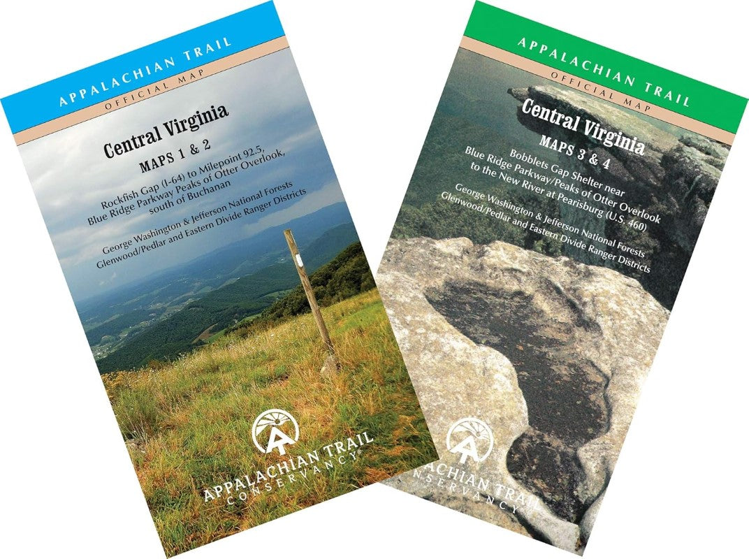
- The official Appalachian Trail maps are essential hiking materials for both thru and section hikers. Each map is focused on the Appalachian Trail and overlaps with the neighboring maps, ideal for long-distance hikes and planning. The surrounding area and additional side trails are also included. An easy-to-use elevation profile shows the distance to the next campsite or shelter, side trails, and water sources. For added interest, maps indicate road crossings, waterfalls, and scenic areas. Maps are both water- and tear-resistant.; The Central Virginia maps cover 226 miles from Waynesboro to Pearisburg on the New River, including parts of the George Washington and Jefferson National Forests and the Blue Ridge Parkway, with a separate section on day and loop hikes, in four maps on two sheets.; Maps 1 & 2 : Central Virginia; Rockfish Gap (I-64) to Milepoint 92.5, Blue Ridge Parkway Peaks of Otter Overlook, south of Buchanan; Seven-color, 1:63,360-scale topographic maps with 100 foot contour intervals. 1 inch = 1 mile.; Maps 3 & 4 : Central Virginia; Bobblets Gaps Shelter near Blue Ridge Parkway/Peaks of Otter Overlook to the New River at Pearisburg (U.S. 460) Seven-color, 1:63,360-scale topographic maps with 100 foot contour intervals. 1 inch = 1 mile.;
- Type: Map and Guide
- Subtype: Hiking Guides
- Language: English
- Publication Date: 2017-06-07
- Scale: Scale not provided
- Regions Covered: North America, Southern U.S.
- Countries Covered: United States
- States Covered: Virginia
- ISBN: 9781944958213
- MPN: AT8213
- Folded Size: 4" (W) x 6.5" (H)
- Unfolded Size: 34" (W) x 19" (H)
- Weight: .18 lb