1
/
of
1
Kasprowski Publisher
Antigua and Barbuda : road map with street index and diving sites
Antigua and Barbuda : road map with street index and diving sites
Regular price
$15.95 USD
Regular price
Sale price
$15.95 USD
Unit price
/
per
Shipping calculated at checkout.
Couldn't load pickup availability
- SKU: KAS_ANT_BAR_14
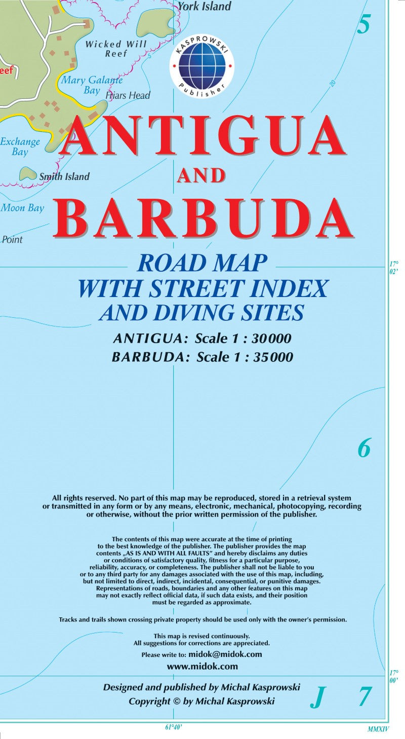
- This first and only complete road and street map with a street index of the twin-island nation of Antigua, 1 : 30 000 scale, and Barbuda, 1 : 35 000 scale, renders roads and streets with their names and locates biking trails, diving sites, parish boundaries, insets of the islands' respective capitals St. John's and Codrington, and several shipwrecks off Barbuda. The double-sided map, with one island on each side, is sold folded measuring 4 7/8" x 8 7/8" (12.5 cm x 22.5 cm) and is designed for easy opening and refolding. Its full unfolded format is 26 3/8" x 38 1/2" (67 cm x 98 cm). Designed for travelers, these two excellent maps have unsurpassed coverage of the islands, and their extensive information and depth of detail fit a broad range of interests.
- Type: Folded Map
- Subtype: Road
- Language: English
- Publication Date: 2014-06-01
- Scale: 1:30,000
- Regions Covered: Caribbean Sea, North America
- Countries Covered: Antigua and Barbuda
- ISBN: 9791095793052
- Folded Size: 4.72" (W) x 9.06" (H)
- Unfolded Size: 26.38" (W) x 38.58" (H)
- Weight: 2 oz


