Reise Know-How Verlag
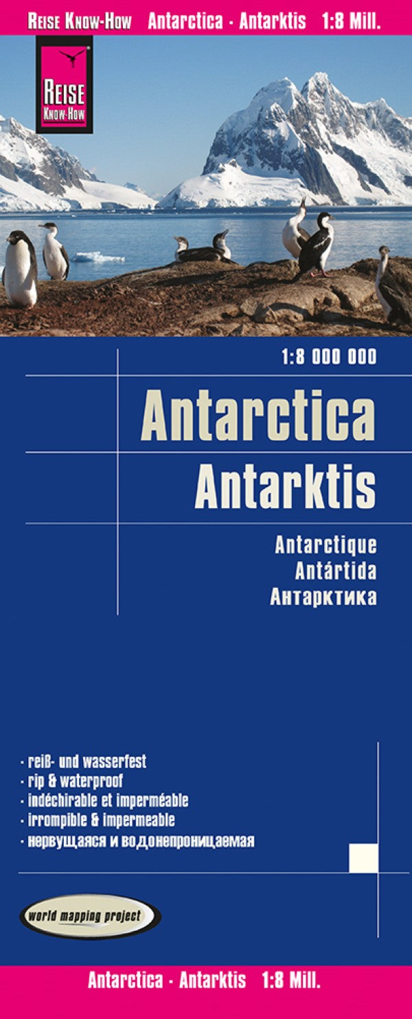
Antarctica Political Reference Map
Antarctica Political Reference Map
Regular price
$14.95 USD
Regular price
Sale price
$14.95 USD
Unit price
per
Shipping calculated at checkout.
Couldn't load pickup availability
- SKU: RKH_ANT_20
- Antarctica at 1:8,000,000 on a folded, waterproof and tear-resistant map from Reise Know-How with plenty of topographic information, prominent highlighting of the continent’s by now numerous research stations, penguin breeding grounds, territorial claims, routes of famous expeditions, etc. The map presents Antarctica’s topography by contours and numerous spot heights, plus plenty of names of mountain ranges, peaks, glaciers, coastal bays, ice shelves, etc. Boundaries of various territorial claims are shown in different colours and locations of permanent or seasonal research stations and encampments are prominently highlighted by national flags; the stations are also annotated with their founding year. The map shows breeding grounds of the emperor and adelie penguins, airstrips and helipads, and the points of southern pole of inaccessibility, South Geomagnetic Pole and the South Magnetic Pole. Expeditions routes marked on the map include those of Amundsen and Scott in 1911, as well as the turning point of Shackleton’s 1909 attempt to reach the South Pole. On the surrounding oceans the map indicates the maximum extent of the sea ices (as measured in September 2012), the maximum extent of pack ice, and the Antarctic Convergence line. Coverage includes the southern tip of South America and South Georgia. Longitude and latitude lines are drawn at 10° intervals. Multilingual map legend includes English.
- Type: Folded Map
- Subtype: Travel
- Language: English, French, German, Russian, Spanish
- Publication Date: 2020-06-01
- Scale: 1:8000000
- Regions Covered: Antarctica
- Countries Covered: Antarctica
- ISBN: 9783831774388
- Folded Size: 4.72" (W) x 10.24" (H)
- Unfolded Size: 39.37" (W) x 27.56" (H)