International Travel Maps
Antarctica / Tierra del Fuego Travel Map
Antarctica / Tierra del Fuego Travel Map
Couldn't load pickup availability
- SKU: ITM_ANTARCTICA_24
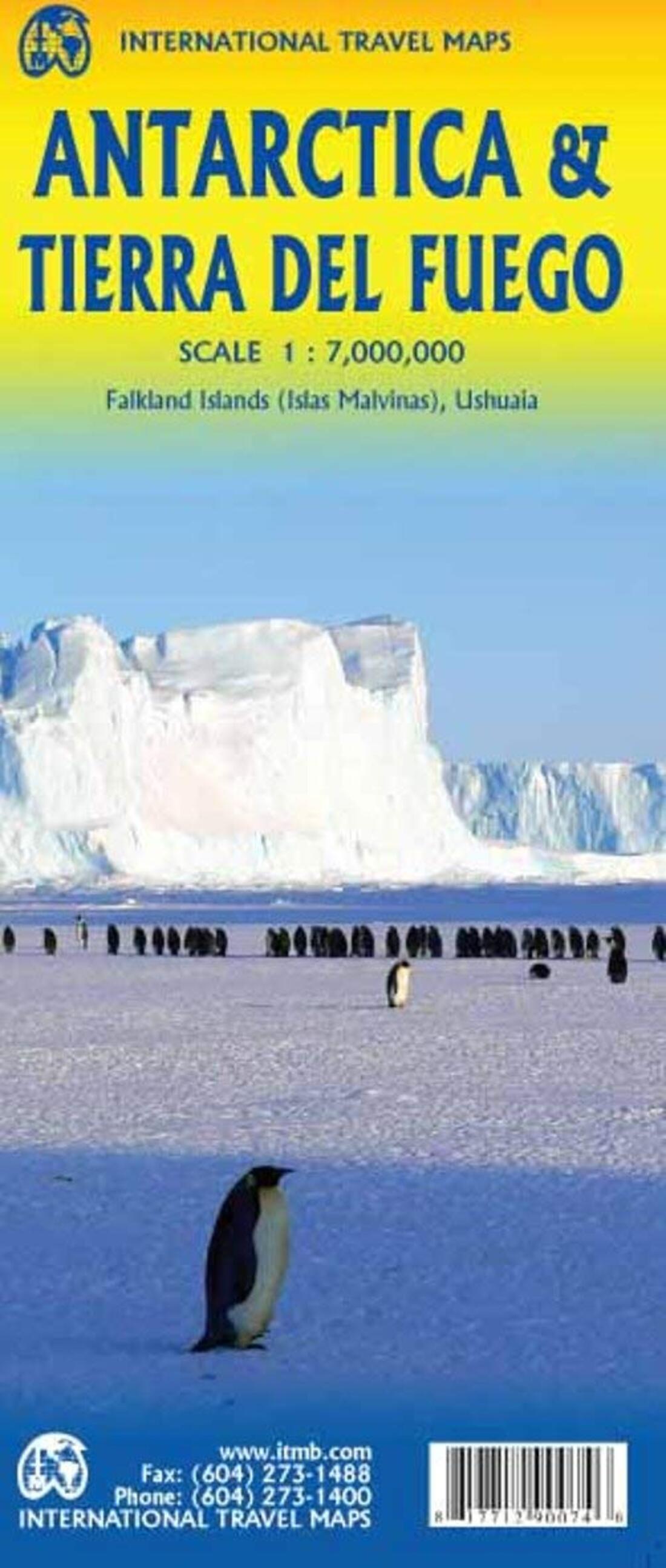
Antarctica remains one of the most fascinating places on earth. It is possible to visit the continent during the 'summer' months of January/February, by ship. We did so on an Azumara liner (625 passengers), but Holland America has also used one of their larger ships to go there. Regardless, Antarctica retains a degree of wonder unsurpassed by any other part of the globe. This map is our fifth (5th) edition, so there is on-going demand for this title. This edition has Antarctica on one side and Tierra del Fuego on the other, since most ships heading across the Drake Passage originate in Ushuaia, Argentina. This edition is also unique in that we portray loss of permanent ice since the last edition. Global warming is melting the ice cover quite quickly, both visibly above the surface and by warmer ocean currents melting the underside of ice shelves. This should cause a carving off of a huge piece of ice in the near future that is about the size of Prince Edward Island in Canada. We also find that our Antarctica map is used by a lot of elementary students in the preparation of school projects (no doubt thanks to their parents' searching of the internet to find material). Finally, please note that the ISBN has changed, and the cover picture, but not the price.
- Type: Folded Map
- Subtype: Travel
- Language: English
- Publication Date: 2024-05-01
- Scale: 1:7,000,000 / 1:750,000
- Regions Covered: Antarctica, South America
- Countries Covered: Argentina, Chile
- ISBN: 9781771290357
- Folded Size: 4" (W) x 9.5" (H)
- Unfolded Size: 39" (W) x 27" (H)
- Weight: 2.89 oz


