1
/
of
1
ODT Maps
Antarctica - 5 Views of the Continent, paper, rolled
Antarctica - 5 Views of the Continent, paper, rolled
Regular price
$12.00 USD
Regular price
Sale price
$12.00 USD
Unit price
/
per
Shipping calculated at checkout.
Couldn't load pickup availability
- SKU: ODT_CON_ANT_PAP_
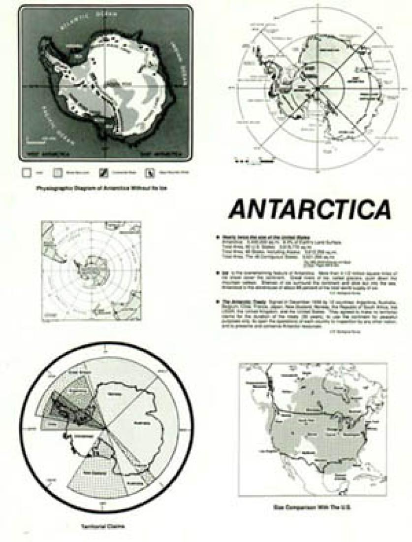
Includes two views as from space over the South Pole, size comparison with the U.S., boundaries of territorial claims by eight nations, and a physiographic diagram of the continent without its ice. This series of maps was made in 1989. With global warming you can note the shrinkage of the ice sheet coverage, you can have your students use Google Earth and compare what's missing off this activity filled map.
- Type: Wall Map
- Subtype: Specialty
- Language: English
- Scale: Not drawn to scale
- Regions Covered: Antarctica
- Folded Size: N/A
- Unfolded Size: N/A
- Weight: 3 oz


