Tom Harrison Maps
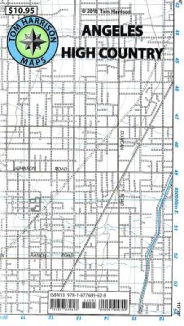
Angeles High Country Trail Map
Angeles High Country Trail Map
Regular price
$12.95 USD
Regular price
Sale price
$12.95 USD
Unit price
per
Shipping calculated at checkout.
Low stock
Couldn't load pickup availability
- SKU: TH_ANGELES_21
- Shaded relief map, folded, printed on waterproof and tear resistant material. Scale 1:63360 (1 inch represents 1 mile) and contour interval 80 feet. The area is high up in the Angeles National Forest, North of Monrovia, San Dimas and east of San Bernardino National Forest. 2021, 80-foot contours, scale 1:63,360
- Type: Folded Map
- Subtype: Hiking
- Language: English
- Publication Date: 2021-06-01
- Scale: 1:63,360
- Regions Covered: North America, Western U.S.
- Countries Covered: United States
- States Covered: California
- ISBN: 9780989457989
- UPC: 099095000859
- Folded Size: 4.33" (W) x 7.87" (H)
- Unfolded Size: 24.8" (W) x 28.74" (H)
- Weight: .8 oz