Anavasi Editions
Andros Hiking Map
Andros Hiking Map
Regular price
$14.95 USD
Regular price
Sale price
$14.95 USD
Unit price
per
Shipping calculated at checkout.
Low stock
Couldn't load pickup availability
- SKU: ANA_ANDROS_HIKE_19
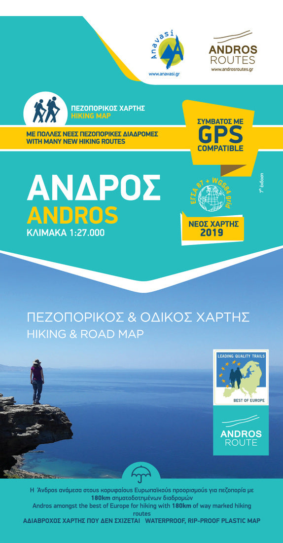
- Hiking map of Andros island in a scale of 1:27?000 The new hiking map of Andros in scale 1:27?000 was issued in cooperation with the local society Andros Routes. It is a road, hiking and cycling map printed on waterproof and rip proof paper and includes. Legend in 4 languages, Greek, English, German, French, updates on the road network, many new hiking routes and a full legend of the hiking routes along way marking and sign posting. Andros is a large island (374 sq km or 147 sq miles), mountainous, with rich vegetation in several parts of the island and abundant running water, as testified by more than 150 watermills. Chora, the main settlement of Andros, has many neoclassical houses, an interesting archaeological museum, and a particularly active museum of modern art that hosts interesting exhibitions every year.
- Type: Folded Map
- Subtype: Hiking
- Language: English, Greek
- Publication Date: 2019-01-01
- Scale: 1:50,000
- Regions Covered: Balkans, Europe, Mediterranean Sea
- Countries Covered: Greece
- ISBN: 9789608195745
- MPN: 13
- Folded Size: 5" (W) x 9" (H)
- Unfolded Size: 26.6" (W) x 38.8" (H)
- Weight: 2.6 oz