1
/
of
1
Backroads Mapbooks
Algonquin Provincial Park Recreation Map
Algonquin Provincial Park Recreation Map
Regular price
$19.95 USD
Regular price
Sale price
$19.95 USD
Unit price
/
per
Shipping calculated at checkout.
Low stock
Couldn't load pickup availability
- SKU: BRM_ALGON_21
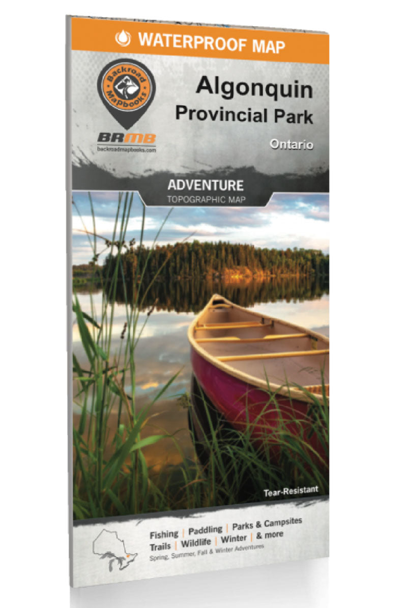
- Spanning an area of 7,653 km2 (2,955 mi2), Algonquin Provincial Park is one of Canada's largest and most popular provincial parks. Visitors to this Ontario park will quickly understand the popularity of sprawling forests of red and white pine surrounding an endless patchwork of pristine lakes (around 2,400 in total) that are perfect for paddling. A secluded, water-access campsite is always just around the corner and several fantastic hikes lead deep into the scenic forests. Waterproof and designed to withstand the elements (it even floats) this two-in-one park map includes an unparalleled level of detail and covers the entire park area on one side and the Highway 60 Corridor on the other side. Providing everything in one place to help you enjoy your Algonquin Provincial Park adventures, the maps chart out all the park's canoe routes, with access points, front and backcountry campsites, unique attractions, portages, trails, and more. Anglers looking for the best locations to fish Algonquin Park will love the fact that the lakes and rivers are labelled with sportfish species and lake stocking information. Whether you are planning a day trip to the park or a multi-day adventure, this recently updated and reviewed map gives you the most comprehensive coverage available for one of Canada's most popular parks! DOUBLE-SIDED WATERPROOF MAP Printed on durable waterproof and tear-resistant material: it even floats! Countless points of interest, paddling routes, hiking trails, campsites, beaches, and more! Anglers will find fish species listed for lakes and rivers, boat launch locations and more. Dual-sided 86 x 117 cm (34 x 46.25 in) map offers unparalleled, close-up detail of the Highway 60 Corridor on one side and the entire provincial park on the other side. Park planning tools including camping, detailed trail and paddling information, trout stocking, park regulations and contact details. Seamless map coverage requires no page-turning. UTM grids with latitude and longitude make navigating the map easy. Everything you need to plan your Algonquin Provincial Park Adventure!
- Type: Folded Map
- Subtype: Outdoor Recreation Maps
- Language: English
- Publication Date: 2021-01-01
- Scale: 1:140,000
- Regions Covered: North America
- Countries Covered: Canada
- States Covered: Ontario
- ISBN: 9781989175071
- UPC: 622098110043
- MPN: APMON
- Folded Size: 4" (W) x 9" (H)
- Unfolded Size: 34" (W) x 46.25" (H)


