Reise Know-How Verlag
Albanien = Albania
Albanien = Albania
Regular price
$14.95 USD
Regular price
Sale price
$14.95 USD
Unit price
per
Shipping calculated at checkout.
Couldn't load pickup availability
- SKU: RKH_ALB_20
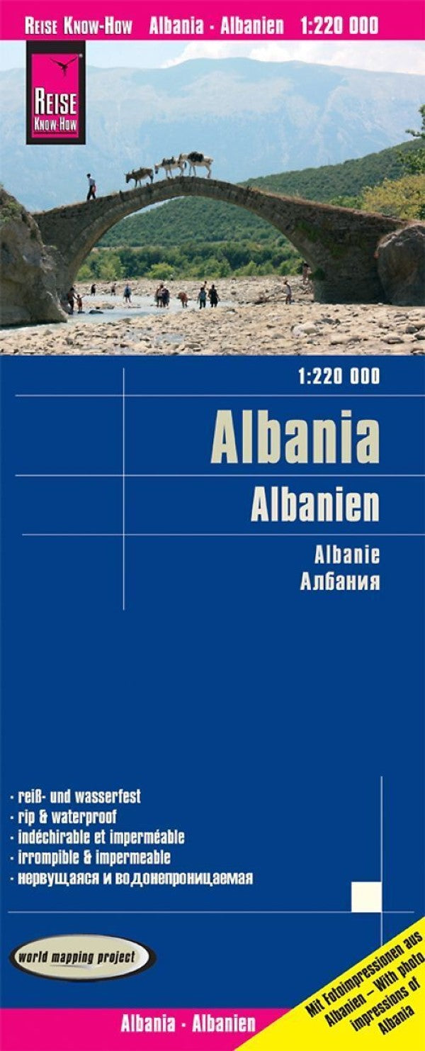
- Albania at 1:220,000 on an indexed, waterproof and tear-resistant road map with topographic and tourist information. The map, published by Reise Know-How as part of their highly acclaimed World Mapping Project, is double-sided to provide the best balance between a good scale and a convenient size sheet. The map divides the country north/south with a generous overlap between the sides. Road and rail networks are easy to see on a clear base which presents topography by altitude colouring with contours, spot heights, mountain passes and names of mountain ranges. The map also indicates boundaries of national parks and other protected areas. Road network includes local roads and tracks, indicates scenic routes and gives driving distances on main and some secondary roads. Railway lines are included and local airports are marked. Internal administrative boundaries are shown with names of the provinces. Symbols highlight various places of interest, including campsites, UNESCO world heritage sites, archaeological remains, castles and churches, museums, viewpoints, beaches, etc. The map has latitude and longitude lines at intervals of 10’ and a UTM grid, plus an extensive index of localities. Map legend includes English. ”World Mapping Project” is an extensive series of maps at varying scales, aiming to provide coverage of countries and regions worldwide using clear, well presented cartography with both topographic and tourist information.
- Type: Folded Map
- Subtype: Road
- Language: English
- Publication Date: 2020-06-01
- Scale: 1:220,000
- Regions Covered: Balkans, Europe
- Countries Covered: Albania
- ISBN: 9783831774333
- Folded Size: 4.72" (W) x 10.24" (H)
- Unfolded Size: 39.37" (W) x 27.56" (H)
- Weight: 2 oz