International Travel Maps
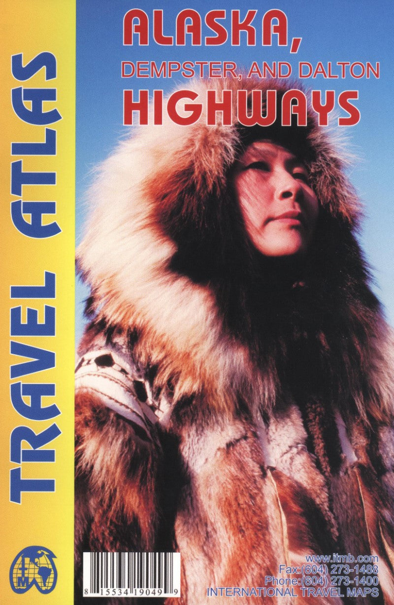
Alaska Highway Road Atlas
Alaska Highway Road Atlas
Regular price
$11.95 USD
Regular price
Sale price
$11.95 USD
Unit price
per
Shipping calculated at checkout.
Couldn't load pickup availability
- SKU: ITM_AK_AT_11
- A road atlas of Alaska and Yukon to plan your trip, to prepare your itinerary, and to travel independently. This handy Travel Atlas covers the three great highways of the American Northwest. The territory of Alaskan part is at scale 1:1,500,000, the Yukon is at 1:1,000,000 and the British Columbian area at 1:1,250,000. The route begins at the border of British Columbia and Alberta, at Ft.St.John and Dawson Creek, and, alternatively, at Prince Rupert, BC (Stewart Highway). It leades to Fairbanks, AK (Alaska Highway), then to Prudhoe Bay (Dalton Highway), while the Dempster Highway branches off to Inuvik in Canada's Northwest Territories. Included are insets with street plans of central Dawson City, Whitehorse and Watson Lake.
- Type: Paperback Atlas
- Subtype: Popular/Travel
- Language: English
- Regions Covered: North America, Northwestern U.S.
- Countries Covered: United States
- States Covered: Alaska
- ISBN: 9781553419044
- UPC: 815534190499
- Folded Size: N/A
- Unfolded Size: N/A
- Weight: 2.5 oz