Mapple
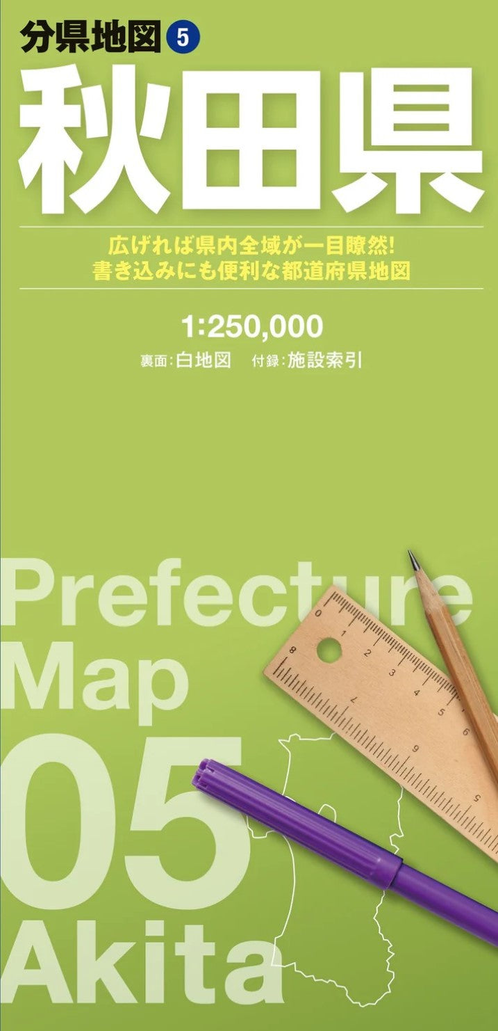
Akita Prefecture Map
Akita Prefecture Map
Couldn't load pickup availability
- SKU: MAPP_P_05_25
Explore the entire Akita Prefecture at a glance with this large-format fold-out map. Part of the popular Prefectural Map Series, this detailed map presents the whole prefecture on a single oversized sheet, making it easy to understand regional geography, plan routes, and visualize locations in ways that digital maps simply cannot.
Featuring both a full-color reference map and a customizable blank map on the reverse side, this versatile map is ideal for travel planning, business use, education, research, and creative mapping projects.
Product Overview
Main Map
- Entire Akita Prefecture
- Scale: 1:250,000
Blank Map (Reverse Side)
- Simplified outline map of Akita Prefecture designed for note-taking, route planning, marking locations, and custom mapping projects
Included Index Booklet
Find important locations quickly with a comprehensive index featuring:
- Major natural landmarks
- Tourist attractions
- Airports
- Roadside stations (Michi-no-Eki)
- Municipal offices and public facilities
Key Features
See the Entire Prefecture on One Large Sheet
Unlike smartphone or online maps, this large-format map allows you to view the entire prefecture at once, making it easy to understand geographic relationships, distances, and travel routes between destinations.
Clear and Easy-to-Read Design
The map is carefully designed for readability, using:
- Color-coded terrain and elevation information
- Clearly differentiated roads and railways
- Administrative boundaries
- Optimized text sizes and line weights for effortless navigation
Visual Elevation Representation
Terrain colors follow contour patterns, allowing you to quickly understand changes in elevation and topography across the region.
Customizable Blank Map on the Reverse Side
The reverse side features a specially designed blank map with just the right amount of detail for customization. Use markers, highlighters, stickers, and notes to create:
- Travel journals
- Route plans
- Sales territories
- Research projects
- Educational materials
- Personal exploration maps
Convenient Location Index
The included reference booklet makes it easy to locate cities, towns, natural landmarks, tourist destinations, airports, and public facilities throughout Akita Prefecture.
Portable Folded Format
Despite its large display size, the map folds down to a compact format that's easy to carry in a backpack, briefcase, or travel bag.
Ideal Uses
Business & Professional Use
- Market analysis
- Sales territory planning
- Store location planning
- Distribution mapping
- Regional research
Travel & Adventure
- Trip planning
- Route mapping
- Destination research
- Road trip preparation
Personal Record Keeping
- Travel logs
- Visited location tracking
- Custom annotations and notes
Emergency Preparedness
- Disaster response planning
- Hazard mapping
- Community preparedness projects
Product Specifications
Unfolded Size
62 × 88 cm
Package Size
10.3 × 21.3 × 0.85 cm
About the Series
Combining a detailed full-color reference map with a practical blank map for customization, the Prefectural Map Series offers a unique way to explore, plan, and document your travels and projects. Whether you're a traveler, educator, researcher, business professional, or map enthusiast, this map provides a comprehensive view of Akita Prefecture in a convenient, easy-to-use format.
- Type: Folded Map
- Subtype: Road
- Language: Japanese
- Publication Date: 2025-10-01
- Scale: 1:250,000
- Regions Covered: Asia, East Asia, Pacific Ocean
- Countries Covered: Japan
- States Covered: Akita
- ISBN: 9784398764553
- Folded Size: 4" (W) x 8" (H)
- Unfolded Size: 31" (W) x 21.45" (H)