1
/
of
1
Lakemaps
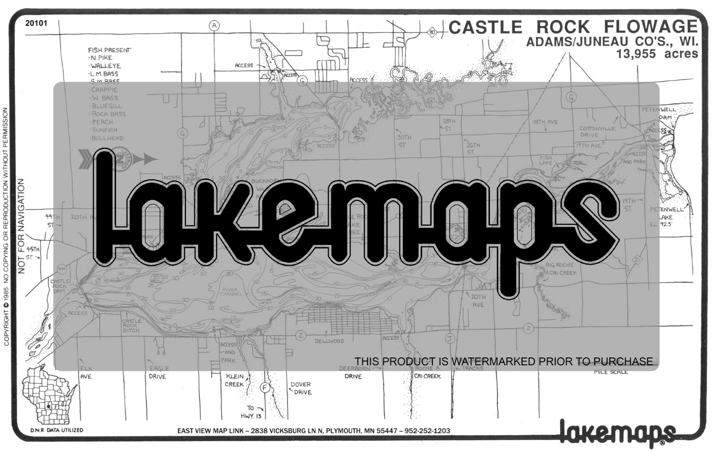
Adams County, WI - CASTLE ROCK FLOWAGE - Lakemap - 20101
Adams County, WI - CASTLE ROCK FLOWAGE - Lakemap - 20101
Regular price
$5.95 USD
Regular price
Sale price
$5.95 USD
Unit price
/
per
Shipping calculated at checkout.
Couldn't load pickup availability
- SKU: LM_WI_ADAMCO_CAST_POD
- This map of Castle Rock Flowage located in Adams County, WI includes local fish, lake conditions and points of interest. Lakemaps are printed on a white 7 by 11 inch plastic card for durability and convenience. MPN # 20101 by Lakemaps.
- Type: Flat Map
- Subtype: Fishing
- Language: English
- Scale: Map not to scale
- Regions Covered: Midwest, North America
- Countries Covered: United States
- States Covered: Wisconsin
- MPN: 20101
- Folded Size: N/A
- Unfolded Size: 11" (W) x 7" (H)
- Weight: .8 lb


