1
/
of
1
Anavasi Editions
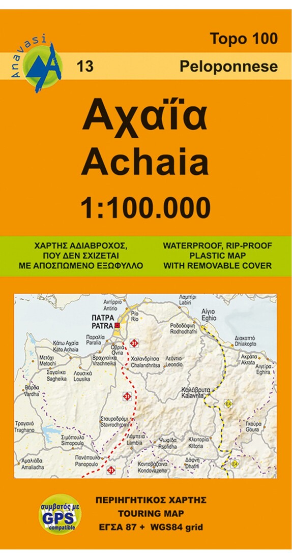
Achaia Touring and Road Map
Achaia Touring and Road Map
Regular price
$9.95 USD
Regular price
Sale price
$9.95 USD
Unit price
/
per
Shipping calculated at checkout.
Low stock
Couldn't load pickup availability
- SKU: ANA_ACHAIA_09
- Road map of the region of Achaia in a scale of 1:100 000, with a city plan of central Patras. Achaia or Achaea, sometimes even written Achaia, is the translitteration of ????? in Greek. Achaia is a region in the Northwest of the Peloponnese, though administratively a part of the region of Western Greece, and its capital is Patras, one of the main cities of Greece and a large port on the Gulf of Patras. Other major cities are Kiato, Aigio, Kato Achaia, Kalavryta. Patras cityscape is dominated by mount Panaichaiko (1926m). Chelmos (2355m) and Erymanthos (2224m) are the highest mountains in Achaia. Discover touring destinations in Achaia.
- Type: Folded Map
- Subtype: Hiking
- Language: English, Greek
- Publication Date: 2011-01-01
- Scale: 1:100,000
- Regions Covered: Balkans, Europe, Mediterranean Sea
- Countries Covered: Greece
- ISBN: 9789608195189
- MPN: 13
- Folded Size: 5.25" (W) x 9.5" (H)
- Unfolded Size: 38" (W) x 26.75" (H)
- Weight: 2.8 oz


