Tourist Maps Kenya Limited
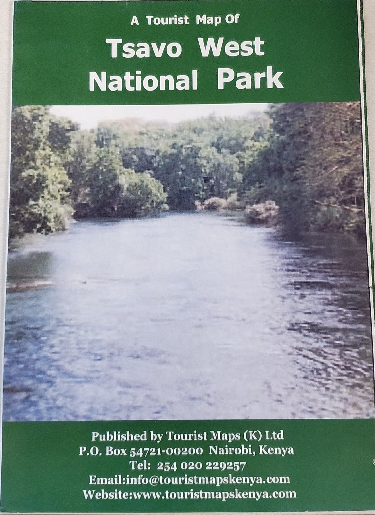
A Tourist Map of Tsavo West National Park
A Tourist Map of Tsavo West National Park
Couldn't load pickup availability
- SKU: TMK_TSA_W
A detailed map, for the scale, of Tsavo West National Park, with color-shading to show elevation, numerous spot heights, symbols to show lodges, camp sites, bandas, water holes and boreholes, ranger posts and much more. Some descriptive text and sketches of common animals along the margins. This Park covers a huge variety of landscapes, from swamps and natural springs to rocky peaks, extinct volcanic cones and rolling plains. Wildlife is difficult to spot because of the dense scrub. Birds are common and there are large populations of elephants, zebras, hippos and leopards. Lions are out there, but they tend to stay hidden. The focus is Mzima springs, which produces 93 gallons of fresh water a day. There's an underwater viewing chamber. Another attraction is the Ngulia Rhino Sanctuary, at the base of Ngulia Hills, part of Rhino Ark program.
- Type: Folded Map
- Subtype: Park
- Language: English
- Publication Date: 2006-06-01
- Scale: 1:250,000
- Regions Covered: Africa, East Africa
- Countries Covered: Kenya
- Folded Size: 5.5" (W) x 8" (H)
- Unfolded Size: 17" (W) x 32.5" (H)


