1
/
of
1
Tourist Maps Kenya Limited
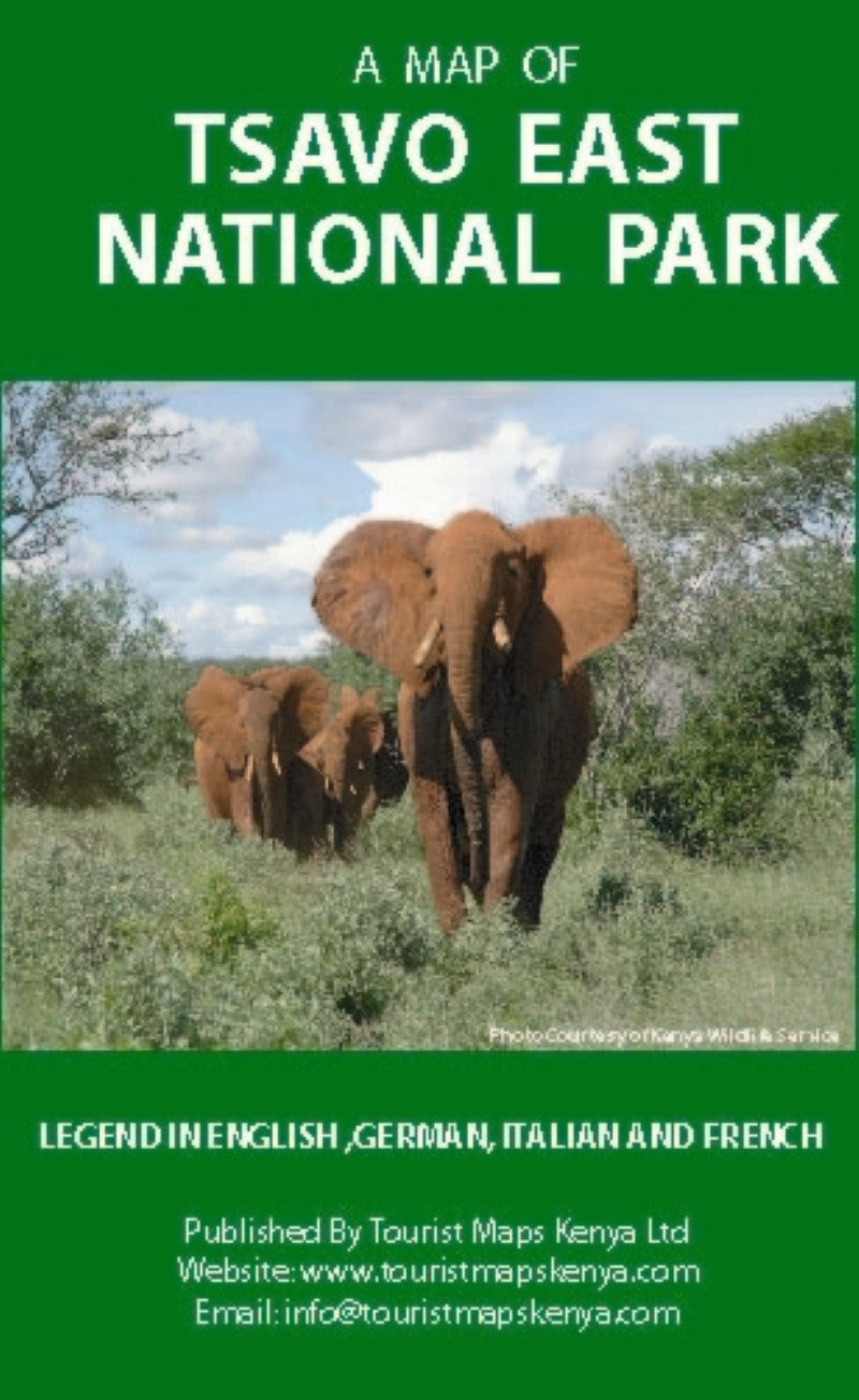
A Map of Tsavo East National Park
A Map of Tsavo East National Park
Regular price
$19.99 USD
Regular price
Sale price
$19.99 USD
Unit price
/
per
Shipping calculated at checkout.
Low stock
Couldn't load pickup availability
- SKU: TMK_TSA_E
Tsavo East National Park covers an area of about 12,000 km. The Yatta Plateau, a long flat topped lava ridge, runs along the western boundary of the park. Below the ridge lies Athi river which joins the Tsavo river, just above Lugard Falls to become Galana, a permanent river that cuts across the Park and flows into Indian Ocean.
The Park is home to large herds of elephants and is home to the Big Five ie Lion, Leopard, Buffalo, Rhino, and Elephant. Another attraction is the Mudanda Rock which is 1.6 km long with a dam at its base where you can watch the animals drink water. Across the Voi river is the Aruba Dam, built in 1951, and attracts many animals and water birds
- Type: Folded Map
- Subtype: Park
- Language: English
- Publication Date: 2006-06-01
- Scale: 1:250,000
- Regions Covered: Africa, East Africa
- Countries Covered: Kenya
- Folded Size: 5.5" (W) x 8" (H)
- Unfolded Size: 17" (W) x 32.5" (H)


