Tourist Maps Kenya Limited
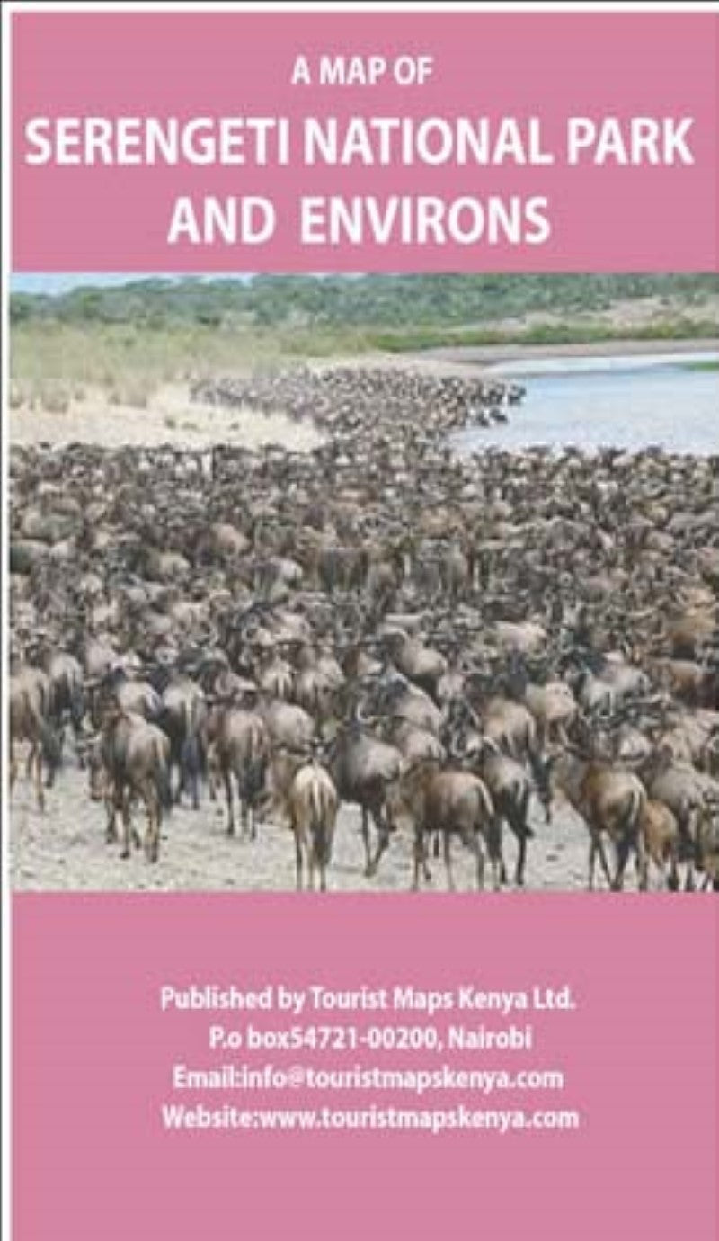
A Map of Serengeti National Park and Environs
A Map of Serengeti National Park and Environs
Couldn't load pickup availability
- SKU: TMK_SERENGET_
The Serengeti National Park is a Tanzanian National Park in the Serengeti ecosystem in the Mara and Simiyu regions. It is famous for its annual migration of over 1.5 million wildebeest, 250,000 zebra and for its numerous nile crocodiles.
The park is Tanzania’s oldest park and remains the flagship of the country’s tourism industry, providing a major draw to the northern safari circuit encompassing Lake Manyara National Park, Tarangire National Park, Arusha National Park and the Ngorongoro Conservation Area.
The park covers 14,750 square kilometres of grassland plains, savanna, riverine forest and woodlands. The park lies in north western Tanzania, bordered to the north by the Kenyan border, where it is continous with the Maasai Mara National Reserve. To the south east is Ngorongoro Conservation Area, the south west Maswa Game Reserve, the west are the Ikorongo andGrumeti Game Reserves and to the north east lies Loliondo Game Control Area. These area form the larger Serengeti ecosystem.
Wildlife includes masai lion, leopard, elephant, black rhino, buffalo, gazelles, topi, eland, waterbuck, and masai giraffee.
- Type: Folded Map
- Subtype: Park
- Language: English
- Scale: 1:50,000
- Regions Covered: Africa, East Africa
- Countries Covered: Kenya
- Folded Size: 5.5" (W) x 7.75" (H)
- Unfolded Size: 16.5" (W) x 23.5" (H)


