Tourist Maps Kenya Limited
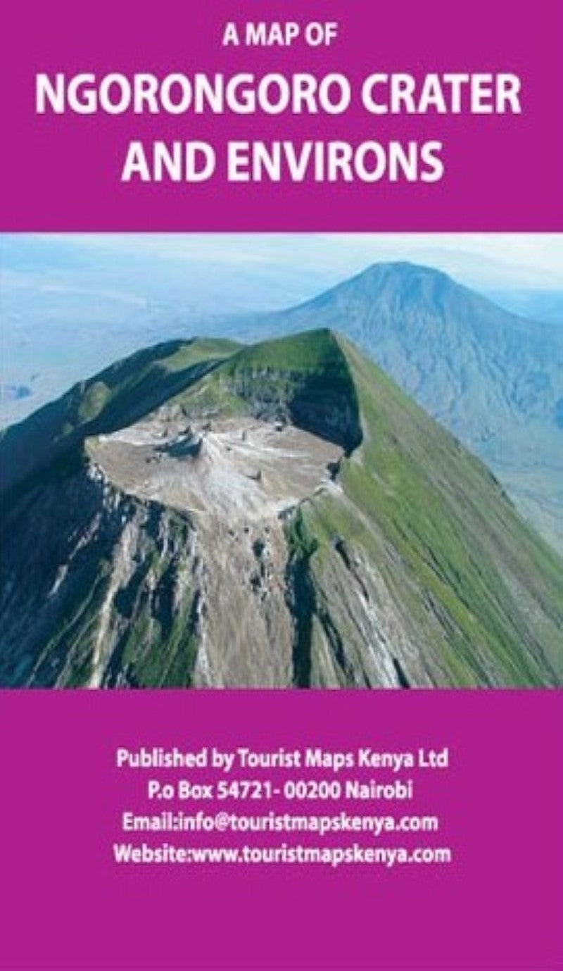
A Map of Ngorongoro National Park and Environs
A Map of Ngorongoro National Park and Environs
Couldn't load pickup availability
- SKU: TMK_NGORO_
The Ngorongoro Conservation Area (NCA) is a conservation and a UNESCO World Heritage Site located 180 km west of Arusha in the Crater Highlands area of Tanzania.
The area is named after Ngorongoro Crater, a large volcanic caldera within the area.
Ngorongoro was named by the Maasai as El-Nkoronkoro meaning Gift of Life. The area is part of the Serengeti ecosystem and, to the north west , adjoins the Serengeti National Park and is continous with the southern Serengeti plains.
Ngorongoro Crater, the World’s largest inactive, intact, and unfilled volcanic caldera. it is 610 metres deep and its floor covers 260 square kilometers. The crater highlands are covered largely in montane forest.
Wildlife found here includes rhinos, buffalos, hippos, zebras, lions, elands, gazelles, waterbucks, oribis, and crocodiles.
- Type: Folded Map
- Subtype: Park
- Language: English
- Scale: 1:700,000
- Regions Covered: Africa, East Africa
- Countries Covered: Kenya
- Folded Size: 5.5" (W) x 7.75" (H)
- Unfolded Size: N/A


