Rand McNally
2026 National Park Atlas & Guide
2026 National Park Atlas & Guide
Regular price
$37.99 USD
Regular price
Sale price
$37.99 USD
Unit price
per
Shipping calculated at checkout.
Couldn't load pickup availability
- SKU: RM_USA_NPG_AT_26
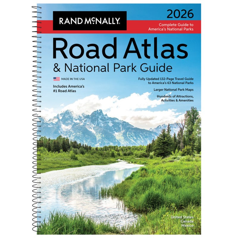
Showcasing this country’s astonishing beauty, the 2026 Rand McNally Road Atlas & National Park Guide has been fully updated with expanded content and larger park maps. Featuring hundreds of photos, essential visitor information, and expert travel tips for all 63 of America’s national parks. Includes a complete 2026 Rand McNally Road Atlas for effortless navigation!
Features Include
- A four-color, 132-page National Park Guide details the best of the best in each park---from trails, drives, and natural wonders to programs, museums, and lodges.
- Hundreds of photos capture the essence of each park.
- Larger park inset maps highlight key points-of-interest.
- A complete 2026 Rand McNally Road Atlas for planning and mapping out your trip.
Additional Features
- Updated maps of every U.S. state, Canadian province, and an overview map of Mexico.
- Inset maps of over 375 cities and 63 U.S. national parks.
- Road construction and conditions contact information for every U.S. state and Canadian province conveniently located above the maps.
- Mileage chart showing distances between 90 North American cities and national parks along with a driving times map.
- Tourism websites and phone numbers for every U.S. state and Canadian province on map pages.
- Made in the USA
- Type: Spiral Bound Atlas
- Subtype: Popular/Travel
- Language: English
- Publication Date: 2025-04-14
- Scale: Scales differ
- Regions Covered: North America
- Countries Covered: Canada, Mexico, United States
- ISBN: 9780528029325
- UPC: 070609029320
- Folded Size: N/A
- Unfolded Size: 11" (W) x 15" (H)
- Weight: 1.68 lb