National Geographic Maps
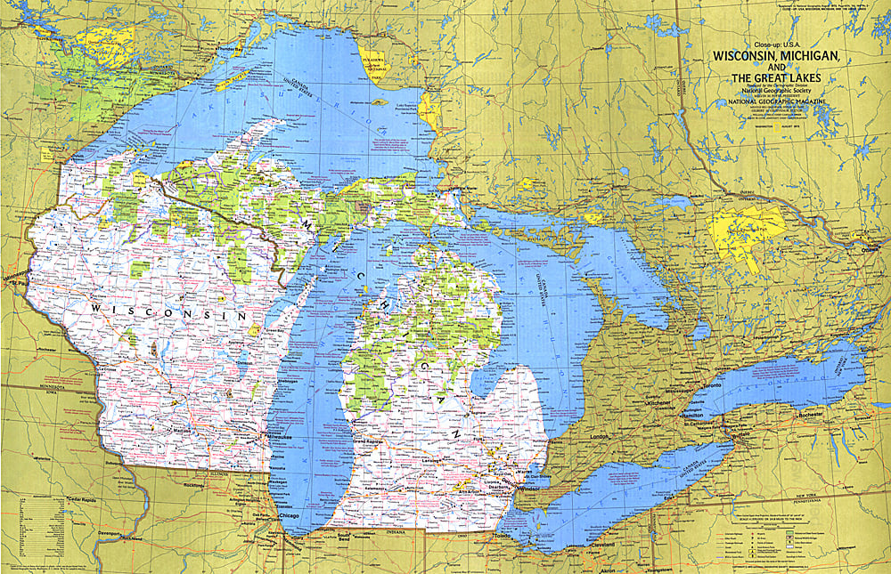
1973 Close-up USA, Wisconsin, Michigan, and the Great Lakes Map
1973 Close-up USA, Wisconsin, Michigan, and the Great Lakes Map
Regular price
$29.95 USD
Regular price
Sale price
$29.95 USD
Unit price
per
Shipping calculated at checkout.
Couldn't load pickup availability
- SKU: PODHNG_US_GR_LAK_73
- This map of the United States side of the western Great Lakes highlights the states of Wisconsin and Michigan. It details the vacation areas and sites throughout this beautiful region. Published in August 1973 as part of the "Close-up: U.S.A." series, with the travel poster "Wisconsin, Michigan, and the Great Lakes: Land Between the Waters."
- Subtype: Wall Art
- Language: English
- Publication Date: 1973-06-01
- Countries Covered: United States
- MPN: HM19730801
- Folded Size: N/A
- Unfolded Size: 35" (W) x 22.5" (H)
- Weight: 16 oz