1
/
of
1
National Geographic Maps
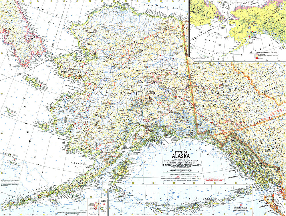
1959 State of Alaska Map
1959 State of Alaska Map
Regular price
$24.95 USD
Regular price
Sale price
$24.95 USD
Unit price
/
per
Shipping calculated at checkout.
Couldn't load pickup availability
- SKU: PODHNG_US_AK_59
- This map showcases Alaska, the largest state in the United States and also larger in area than all but 18 of the world's nations. Published in July 1959, just six months after Alaska became the 49th state.
- Subtype: Political
- Language: English
- Publication Date: 1959-06-01
- Countries Covered: United States
- States Covered: Alaska
- MPN: HM19590700
- Folded Size: N/A
- Unfolded Size: 25" (W) x 18.75" (H)
- Weight: 16 oz


