1
/
of
1
National Geographic Maps
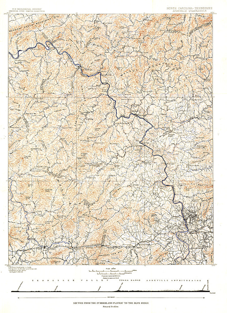
1889 North Carolina Tennessee Cumerberland Blue Ridge
1889 North Carolina Tennessee Cumerberland Blue Ridge
Regular price
$19.95 USD
Regular price
Sale price
$19.95 USD
Unit price
/
per
Shipping calculated at checkout.
Couldn't load pickup availability
- SKU: PODHNG_US_CUMB_89
- Published in October 1889, the "North Carolina-Tennessee: Asheville Sheet" map shows the area from the Cumberland Plateau to the Blue Ridge Mountains. This intricately drawn map shows the city of Asheville and other towns throughout the region. A unique historical map for collectors.
- Subtype: Wall Art
- Language: English
- Publication Date: 1889-06-01
- Countries Covered: United States
- States Covered: North Carolina
- MPN: HM18891000
- Folded Size: N/A
- Unfolded Size: 15.75" (W) x 21.75" (H)
- Weight: 16 oz


