
Loading custom map...
Can’t build exactly what you need? Let our cartography team create it for you. View Professional Custom Cartography Services →
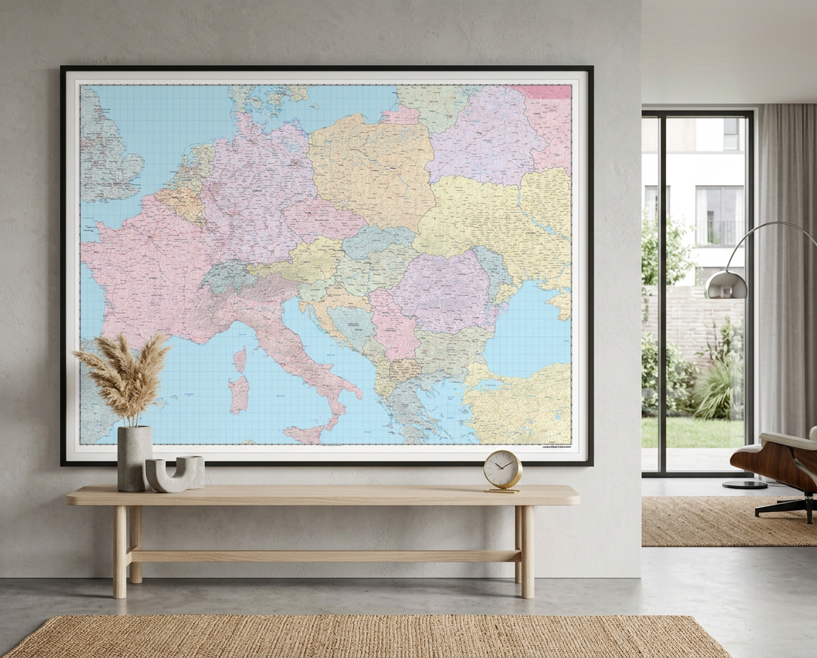
This political world map features countries marked in different colours, with international and regional boundaries shown. A hill shading texture enhances the visual appearance of the map. Major towns and cities are displayed with the country capitals clearly marked. Major airports, roads and railway networks are represented, depending on the scale of your map. These wall maps are suitable for home, o
Loading price list…