
Loading custom map...
Can’t build exactly what you need? Let our cartography team create it for you. View Professional Custom Cartography Services →
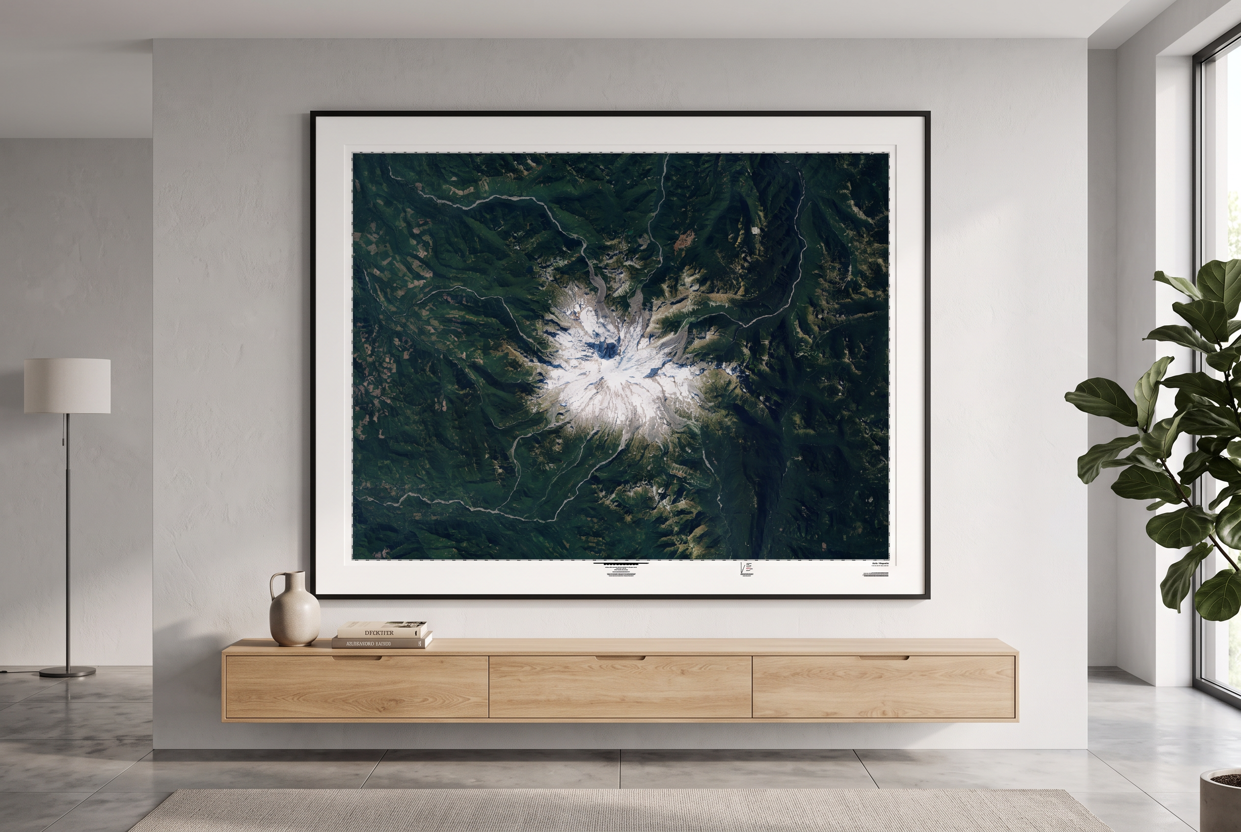
This product leverages the USGS National Agriculture Imagery Program (NAIP) imagery service from The National Map to generate natural colour maps of the Lower 48 US states.
Loading price list…