Rand McNally
San Francisco Bay Area Regional Map
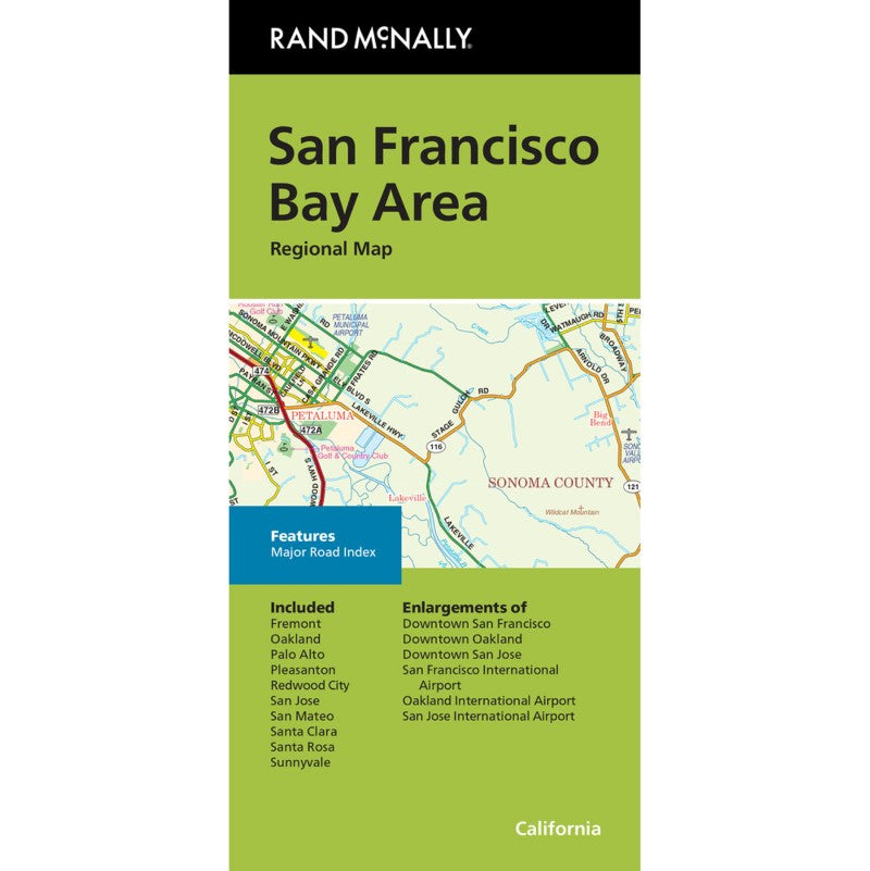
San Francisco Bay Area Regional Map
Couldn't load pickup availability
- SKU: RM_SAN_FR_BAY_25
Rand McNally's folded map for San Francisco Bay Area is a must-have for anyone traveling in and around this part of California, offering unbeatable accuracy and reliability at a great price. Our trusted cartography shows all Interstate, U.S., state, and county highways, along with clearly indicated parks, points of interest, airports, county boundaries, and streets. The easy-to-use legend and detailed index make for quick and easy location of destinations. You'll see why Rand McNally folded maps have been the trusted standard for years.
Regularly updated
Full-color maps
Clearly labeled Interstate, U.S., state, and county highways
Indications of parks, points of interest, airports, county boundaries, downtown & vicinity maps
Easy-to-use legend
Detailed & full street index
Major Road index
Enlargements of San Francisco downtown, Oakland downtown, San Jose downtown, San Francisco International Airport, Oakland International Airport, San Jose International Airport
Convenient folded size
Copyright 2025
Coverage Area
Communities Included: Fremont, Oakland, Palo Alto, Pleasanton, Redwood City, San Jose, San Mateo, Santa Clara, Santa Rosa, SunnyvaleProduct Details
Measures 9.5' x 4' and folds out to 40' x 28'.- Type: Folded Map
- Subtype: Road
- Language: English
- Publication Date: 2025-01-01
- Scale: 1:160934
- Regions Covered: North America, Western U.S.
- Countries Covered: United States
- States Covered: California
- ISBN: 9780528028892
- Folded Size: 4" (W) x 9.5" (H)
- Unfolded Size: 28" (W) x 40" (H)
- Weight: 2 oz