1
/
of
1
Rand McNally
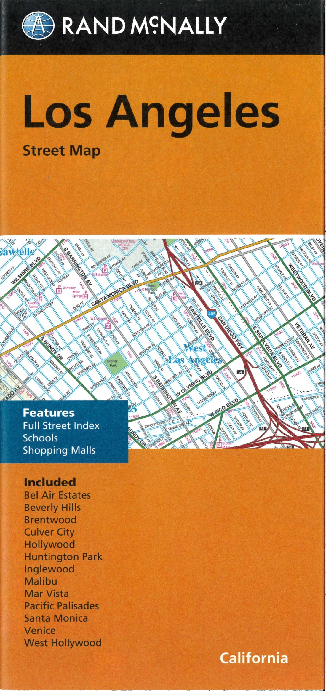
Los Angeles : street map
Regular price
$8.99 USD
Regular price
Sale price
$8.99 USD
Unit price
/
per
Shipping calculated at checkout.
Low stock
Couldn't load pickup availability
- SKU: RM_LOS_AN_23
- Rand McNally's folded map for Los Angeles is a must-have for anyone traveling in and around this part of California, offering unbeatable accuracy and reliability at a great price. Our trusted cartography shows all Interstate, U.S., state, and county highways, along with clearly indicated parks, points of interest, airports, county boundaries, and streets. The easy-to-use legend and detailed index make for quick and easy location of destinations. You'll see why Rand McNally folded maps have been the trusted standard for years. - Regularly updated. - Full-color maps. - Clearly labeled Interstate, U.S., state, and county highways. - Indications of parks, points of interest, airports, county boundaries, schools, shopping malls, downtown & vicinity maps. - Easy-to-use legend. - Detailed index & full street index. - Convenient folded size. Coverage Area Communities Included: Bel Air Estates, Beverly Hills, Brentwood, Culver City, Hollywood, Huntington Park, Inglewood, Malibu, Mar Vista, Pacific Palisades, Santa Monica, Venice, West Hollywood. Product Details: Measures 9.5' x 4' and folds out to 40' x 28'.
- Type: Folded Map
- Subtype: City Maps
- Language: English
- Publication Date: 2023-06-01
- Scale: 1:32,000
- Regions Covered: North America, Pacific U.S., Western U.S.
- Countries Covered: United States
- States Covered: California
- ISBN: 9780528024382
- UPC: 070609024387
- Folded Size: 4.33" (W) x 9.06" (H)
- Unfolded Size: 26.77" (W) x 38.58" (H)
- Weight: 1.7 oz
