Gem Trek
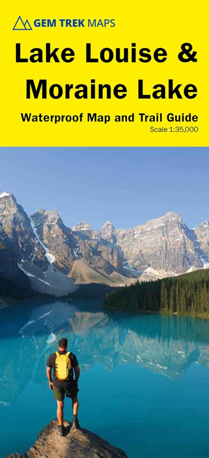
Lake Louise & Moraine Lake Waterproof Map and Trail Guide
Lake Louise & Moraine Lake Waterproof Map and Trail Guide
Couldn't load pickup availability
- SKU: GEM_LOU_MO_25
Waterproof and tear-resistant hiking and recreation map for the Lake Louise and Moraine Lake area of Banff National Park.
Designed for both locals and visitors, Gem Trek's 1:35,000 Lake Louise and Moraine Lake Map is a detailed relief-shaded topographic map of the Lake Louise area. Like all Gem Trek maps, the Lake Louise and Moraine Lake Map features detailed cartography and accurate hiking trails with distances, elevation gain, and directions to the trailhead noted. On the back of the map are descriptions of what to see and do at Lake Louise and Moraine Lake, descriptions recommended hikes, and trip planning information.
Map specs
Scale: 1:35,000
Folded size: 4.5 x 9.5 inches
Flat size: 18 x 24 inches
Paper: Waterproof and tear-resistantMap coverage
The Lake Louise and Moraine Lake Map focuses on the Lake Louise region of Banff National Park in the Canadian Rockies. Coverage extends from the Alberta/British Columbia border in the west to the Lake Louise Ski Resort in the east. The Lake Louise region is regarded by many as the premier hiking destination in all of the Canadian Rockies, and we've got all the best trails covered, including Lakeshore, Plain of Six Glaciers, Lake Agnes, the two beehives, Saddleback, Larch Valley, Eiffel Lake, and Consolation Lakes. An inset map on the back increases coverage of Lake Louise Village, with accommodations, the campground, and hiking trails marked. For coverage of a larger area of Lake Louise, see Gem Trek's Lake Louise and Yoho Map.
Map features
The Lake Louise and Moraine Lake Map features:
- waterproof and tear-resistant paper
- contour lines at 25-metre (80-foot) intervals
- relief shading to better show the topography
- full colour on both sides
- hiking trails with trail names and trail distances marked
- mountain biking and equestrian trails with trail names and distances marked
- hydrology including rivers, rapids and waterfalls
- mountain names and all available mountain elevations
- all campgrounds with a handy chart showing campground details
- points of interest and attractions as well as day use areas and highway viewpointsAbout Gem Trek Maps: Gem Trek was founded in the early 1990s with the publication of maps to the Kananaskis Country region of the Canadian Rockies. Today, with over 1,000,000 maps sold, we remain a vibrant, proudly independent map publisher specializing in producing Canadian Rockies maps. Our cartographers, writers, and photographers are all locals, who love the outdoors and enjoy the challenge of producing the very best maps possible.
- Type: Folded Map
- Subtype: Hiking
- Language: English
- Publication Date: 2025-05-01
- Scale: 1:35,000
- Regions Covered: North America
- Countries Covered: Canada
- States Covered: Alberta, British Columbia
- ISBN: 9781990161049
- Folded Size: 4.5" (W) x 9.5" (H)
- Unfolded Size: 27" (W) x 36" (H)
- Weight: 1.6 oz