Adventure Cycling Association
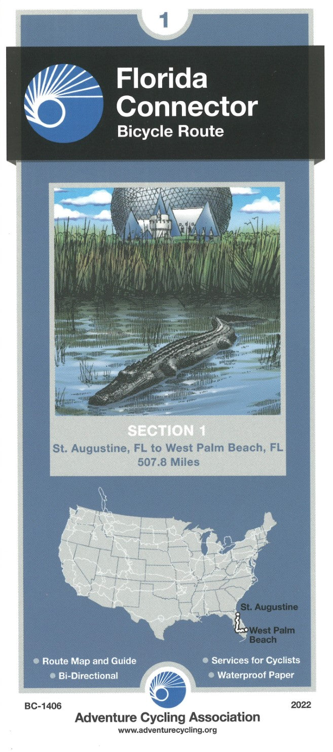
Florida Connector Bike Route Map Section 1
Florida Connector Bike Route Map Section 1
Couldn't load pickup availability
- SKU: ADCY_BC_1406_22
2,525 miles -- Adventure Cycling's Atlantic Coast route, from Bar Harbor, Maine, to Ft. Myers Beach, Florida, takes you through a region rich in history. The route passes directly through Washington, D.C. and Richmond, and is linked with spurs to Boston, New York, Philadelphia, Baltimore, Charleston and Savannah. The Florida Connector map offers a tranquil side trip from St. Augustine to Ft. Myers Beach via the Orlando area, then on to Ft. Lauderdale, bypassing the busy A1A coastal route.
Heading south from St. Augustine mostly on SR A1A, the route alternates between urban and suburban conditions along the coast until it swings west at Bulow Creek State Park. You will wind your way through many lakes and sinkholes. Sometimes you'll see huge trucks filled with oranges, and you may even see a live (or dead) armadillo along the side of the road. In the Orlando area, you'll experience the mind-boggling traffic and myriad services associated with Disney World. The route is only five miles away from the main entrance. Many campgrounds and motels offer shuttle service into Disney World, which would be the best way to reach this fun spot. Continuing south, it's more swamps, farms, and orange groves.
From DeLeon Springs to Clermont the route strings together several bike paths, including the Spring-to-Spring Trail, Seminole Wekiva Trail, and West Orange Trail.
Traveling east from Fort Myers, you once again leave the tourist corridor behind and have a chance to encounter the more residential and rural aspects of Florida. Lehigh Acres, a planned community, is ample evidence of the development to come. Between LaBelle and Clewiston your companions will mostly be birds and reptiles. Services through this swampland are few and far between. Alligators tend to fear humans but give them a wide berth anyway. The route skirts the southern banks of Lake Okeechobee on a path built by the Corps of Engineers. The route into West Palm Beach returns you to more urban riding conditions and the connection with the Atlantic Coast Route near the airport.
Ft. Myers, a transportation center and access point to the famous Everglades, serves as a pivot point of the route with its ferry services.
- Type: Folded Map
- Subtype: Bicycling
- Language: English
- Publication Date: 2022-06-01
- Regions Covered: North America, Southern U.S.
- Countries Covered: United States
- States Covered: Florida
- ISBN: 9780935108781
- MPN: BC-1406
- Folded Size: 4" (W) x 8.5" (H)
- Unfolded Size: 24.5" (W) x 18" (H)
- Weight: 1 oz