Editorial Compass Chile Spa
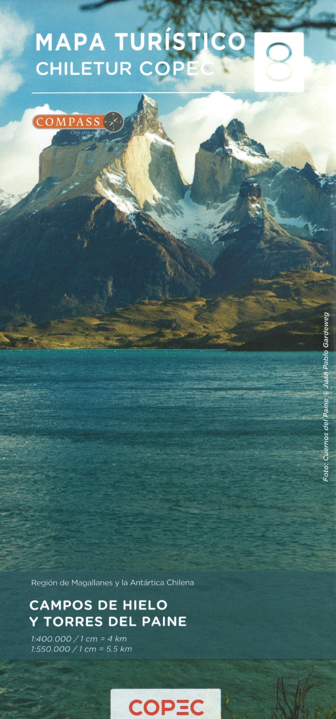
Campos de Hielo y Torres del Paine (Regíon de Magellanes y la Antártica Chilena) - Chile Tourist Road Map #8
Campos de Hielo y Torres del Paine (Regíon de Magellanes y la Antártica Chilena) - Chile Tourist Road Map #8
Couldn't load pickup availability
- SKU: COP_8_CAMPO_25
This map is #8 of part of a 9-sheet series of indexed and GPS-compatible regional maps from Compass Editorial, covers the Campos de Hielo and Torres del Paine National Park regions of Chile at a 1:400,000 scale (northern half) and 1:550,000 scale (southern half). Printed on lightweight, waterproof, and tear-resistant synthetic paper, it provides an exceptional representation of the terrain with satellite imagery, shading, and altitude coloring.
The northern half includes Campo del Hielo Sur with the Viedma Glacier, Torres del Paine National Park, and across the border in Argentina, El Chaltén, Lago Viedma, Los Glaciares National Park, and El Calafate. The southern half, centered on Punta Arenas, covers Puerto Natales, the Chilean part of Tierra del Fuego, and the entire Magellan Strait.
The map highlights national parks and protected areas such as Francisco Coloane Marine Park, Karukinka Park in Tierra del Fuego, and Los Glaciares National Park in Argentina. It also shows key locations such as Lago O’Higgins, Lago Argentino, and Almirantazgo Sound in Tierra del Fuego.
With a classification of the road network that includes dirt roads, 4WD tracks, and paved roads, the map also marks border crossings, petrol stations, toll booths, police units, and driving distances on both main and selected secondary routes. Additional features include railway lines, local airports, and a range of symbols to indicate places of interest, including cultural sites, UNESCO World Heritage sites, beaches, hot springs, trekking, and skiing areas.
Each side of the map has its own index and a distance table, and the map includes a latitude and longitude grid at 15' intervals, with the legend in English. This double-sided map offers detailed coverage of one of the most spectacular regions of Chile and Argentina, making it an invaluable resource for travelers, trekkers, and explorers.
- Type: Folded Map
- Subtype: Outdoor Recreation Maps
- Language: English, Spanish
- Publication Date: 2025-02-01
- Scale: 1:400,000
- Regions Covered: South America
- Countries Covered: Chile
- ISBN: 9789569248719
- MPN: 8
- Folded Size: 3.94" (W) x 9.45" (H)
- Unfolded Size: 26.38" (W) x 37.8" (H)
- Weight: 4.4 oz