Ordnance Survey
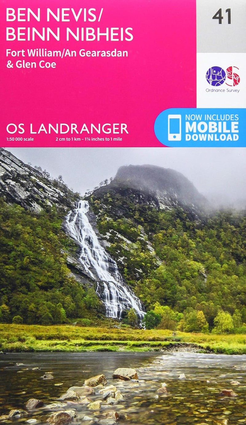
Ben Nevis, Fort William & Glen Coe OS Landranger Map #41
Ben Nevis, Fort William & Glen Coe OS Landranger Map #41
Couldn't load pickup availability
- SKU: OS_L_41_21
The OS Landranger Map series covers Great Britain with 204 detailed maps, perfect for day trips and short breaks
Each map provides all the information you need to get to know your local area and includes places of interest, tourist information, picnic areas and camp sites, plus Rights of Way information for England and Wales.
The Landranger map of Ben Nevis (including Fort William & Glen Coe) is a must-have for your next trip to the area.
The area is famous for its challenging walks paid off by spectacular views. Explore Glen Coe, full of dramatic scenery due to the glen's volcanic origins. Some other major highlights are:
Loch Treig
Glen Roy
Spean Bridge
Ben Nevis is the highest peak in Britain at 1,345m, taking on average 7-9 hours to reach its summit.You can also ride the Nevis Mountain Range Gondola, the only of its kind in the Britain, reaching heights of 650m allowing you to effortlessly enjoy the beautiful mountain range.
- Type: Folded Map
- Subtype: General Topographic
- Language: English
- Publication Date: 2021-06-01
- Scale: 1:50,000
- Regions Covered: British Isles, Europe
- Countries Covered: United Kingdom
- States Covered: Scotland
- ISBN: 9780319263983
- Folded Size: 5.51" (W) x 9.06" (H)
- Unfolded Size: 30.71" (W) x 37.01" (H)
- Weight: 3.4 oz