Rand McNally
2026 Road Atlas
2026 Road Atlas
Couldn't load pickup availability
- SKU: RM_USA_AT_26
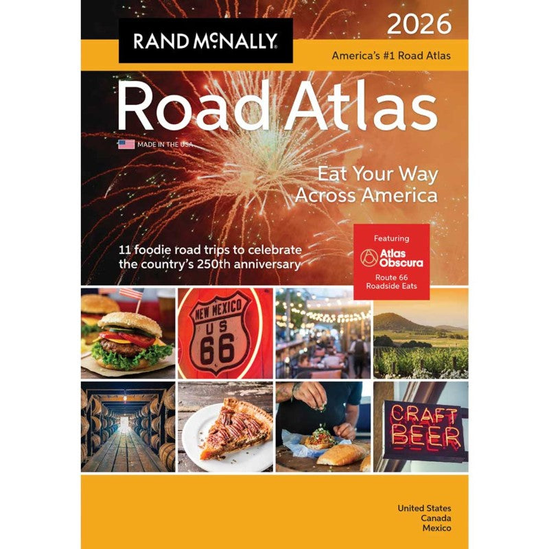
The Rand McNally Road Atlas contains the most up-to-date maps, more detailed city inset maps, and more travel planning information than the competition, which is why it’s been the essential, trusted tool for road travelers for more than 100 years!
This updated 2026 edition contains maps of every U.S. state and Canadian province, an overview map of Mexico, and detailed inset maps of 375 cities and 28 national parks.
In honor of America’s 250th anniversary, Rand McNally presents an exclusive editorial feature highlighting 11 culinary road trips that explore the nation’s diverse flavors, including a special Route 66 Roadside Eats itinerary curated by Atlas Obscura. Packed with insider tips and recommendations to make each road trip a memorable experience.
Other Features:
Road construction and conditions contact information for every U.S. state and Canadian province are conveniently located on map pages.
Mileage and Driving Times Map shows distance and approximate driving times between hundreds of cities.
Tourism websites and phone numbers for every U.S. state and Canadian province on map pages.
Made in the USA.
- Type: Paperback Atlas
- Subtype: Popular/Travel
- Language: English
- Publication Date: 2025-04-14
- Scale: Scales differ
- Regions Covered: North America
- Countries Covered: Canada, Mexico, United States
- ISBN: 9780528029271
- UPC: 070609029276
- Folded Size: N/A
- Unfolded Size: 16" (W) x 11" (H)
- Weight: 1.25 lb